-
-
 This project began in earnest in 2004, as a continuation of our long-term research activities in the Burgundy region of France. We began working in the 1970s and 1980s as graduate students with the UNC French project, directed by Carole Crumley, conducting archaeological and anthropological fieldwork and research into the long-term relationships between people and their environments (Crumley and Marquardt, 1987). We began our current collaborative efforts to extend the timeframe of the earlier work into the post-medieval and modern eras, including contemporary and future land use issues.
 -
Our focus continues to be trans-disciplinary in nature, where we investigate the complex interplay of methods from the physical sciences, social sciences, and humanities as an integrated toolkit for understanding how human societies both impact and are influenced by their natural environments. We are interested in the benefits (and difficulties) of crossing disciplinary perspectives and techniques in the study of the complex human/environmental relationships that produce landscapes. Thus, our work draws upon multiple theoretical, methodological, and practical skills using the broad perspective of the historical ecology framework (Crumley ,1994).
-
In particular, we have focused on the integrated analysis of environmental and social data in a Geographic Information System (GIS), geological and palynological data, the analysis of historical documents and records, and ethnographic and oral histories. These disparate techniques, when integrated, can provide cross verification and new insights into questions relating to how people, technologies, social and economic contexts, and the environment interact over time. We are also interested in the processes and techniques of such collaborations, and have published on this as well (Crumley in press).
-
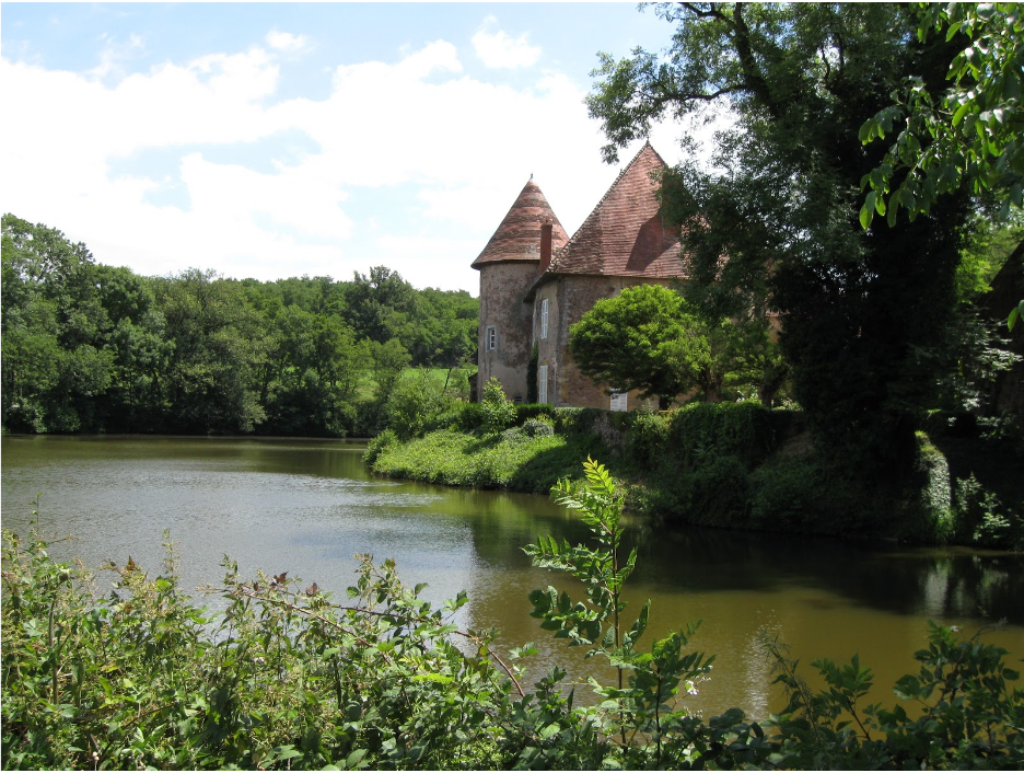
We started our investigation of the landscape surrounding the commune of Uxeau in the Department of Saône-et-Loire with a focus on the changing aspects of water use over time. (See Madry et al., 2011, Madry et al., 2012, Madry et al., 2015). In this work, we combined GIS data derived from multiple maps dating back to 1759, geo-chemical, sedimentary analysis, pollen data, historical documents and oral histories to better understand the changing role of water, ponds, and mills in the area. Integrating these disparate sources of data provided new insights. We discovered that although water, and especially ponds, have always been a key resource in the agricultural system, the uses of water have changed significantly over time.
-
We are now also investigating, in a similar manner, the role of people and settlements, forests, vineyards, meadows, crops, and livestock. Once each these are concluded, we intend to publish a larger, integrated work based on the combined results, including the methods and techniques used.
-
Recently, we have begun a larger, comparative research program, joining forces with scholars from Sweden and Romania to compare and contrast these very different European regions using the same approach. To learn more about this larger project, click here.
-
© 2024 The Burgundy Historical Landscapes Working Group
Theme by Anders Noren — Up ↑