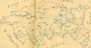
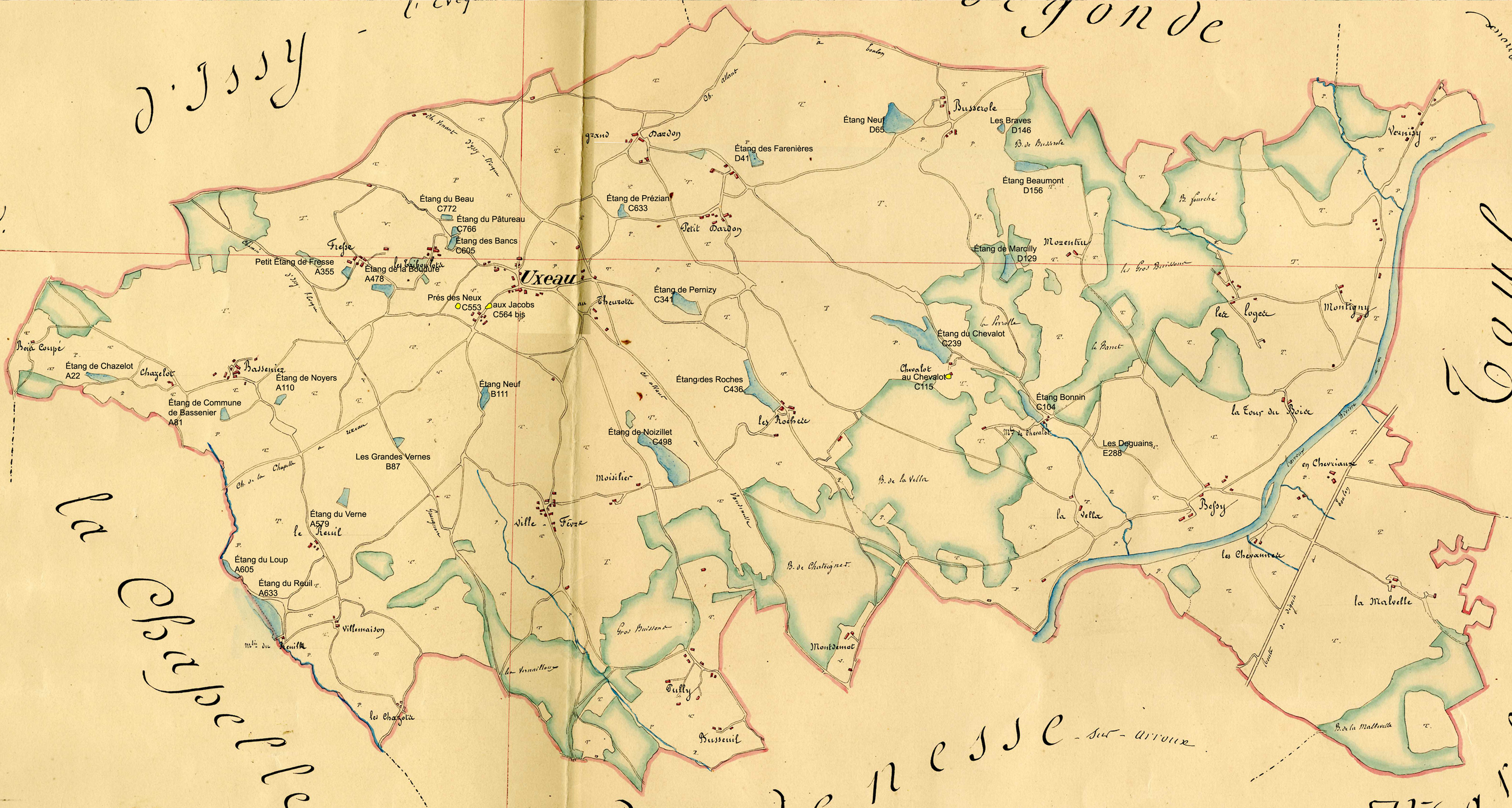
 France is well known for the quality and history of its maps. Our region is rich in historical maps and we have spent many hears searching for, acquiring, and analyzing these maps to better understand the ebb and flow of change in our region. Click on the map at left to see a detailed 1834 map of the Commune of Uxeau, showing forests, roads, streams, and villages.
We have acquired original maps and copies from many sources, including the Library of Congress in Washington, D.C., The Archives Nationales, the Bibliotheque National de France, and Military archives in Chateau Vincennes, as well as regional archives in Macon, Dijon, and in the local commutes as well. At present, we have the following maps that we use in our analysis:
- 1631 Willem J. Blaeu
- 1659 Sanson
- 1759 Cassini
- 1834 Cadastre
- 1840 EtatMajor
- 1848 EtatMajor
- 1895 Canton
- 1912 EtatMajor
- 1945 photo aerienne
- 1951 IGN, Institut Géographique National
- 1964 IGN
- 1971 IGN
- 1983 IGN
- 2003 IGN
- 2010 IGN
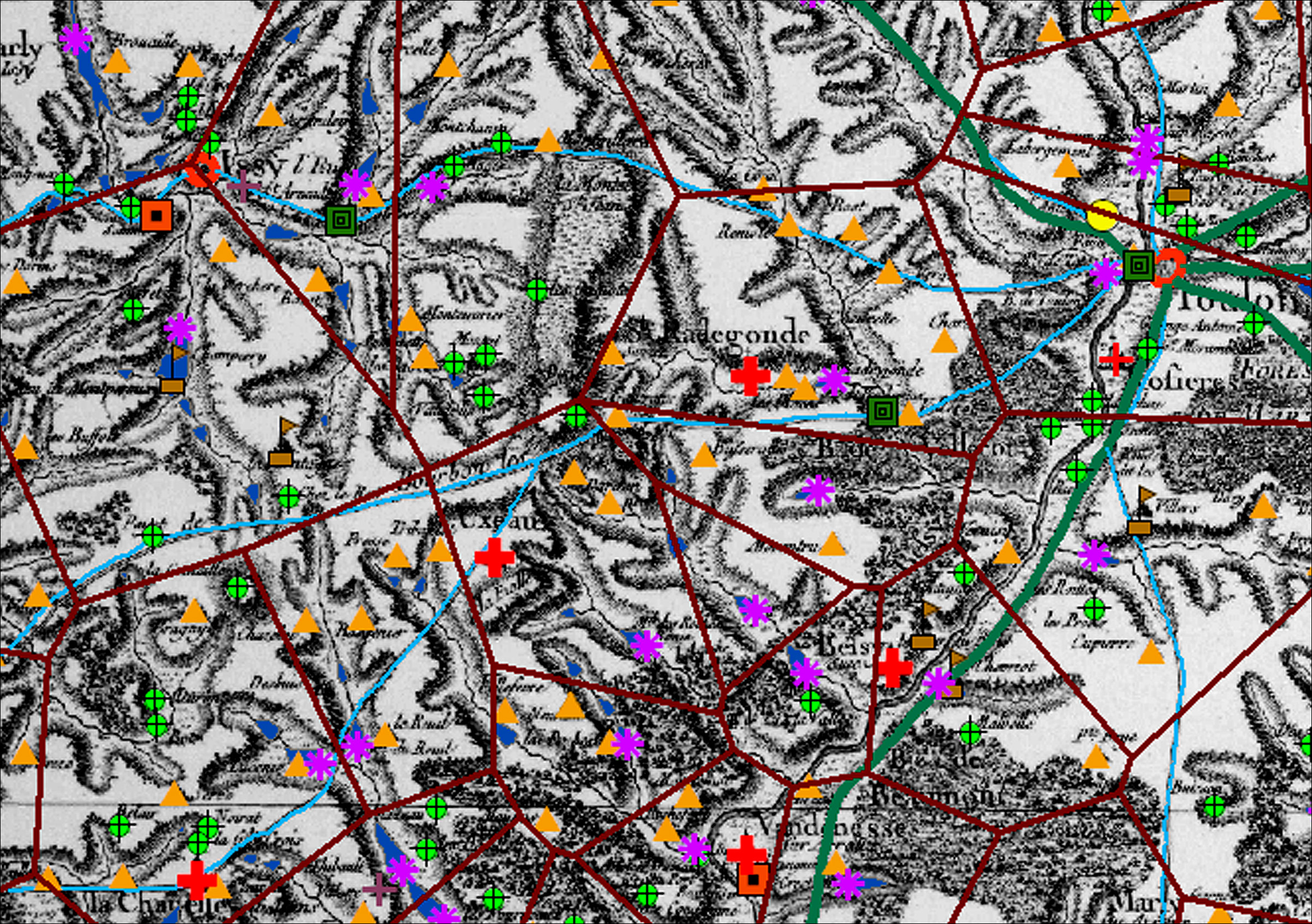
Once we acquire the maps, we then go through a long process of scanning, georeferencing, and extracting individual features such as roads, streams, vineyards, ponds, forests, and other features. These are then included into our GIS database, and these become the basis for much of our spatial analysis of change over time in the region. Click on the map below to see a 1759 map with GIS overlay of the different settlements and villages, streams, etc.
For more information, please visit Scott’s Burgundia Geomatics website: